When walking time beats the map
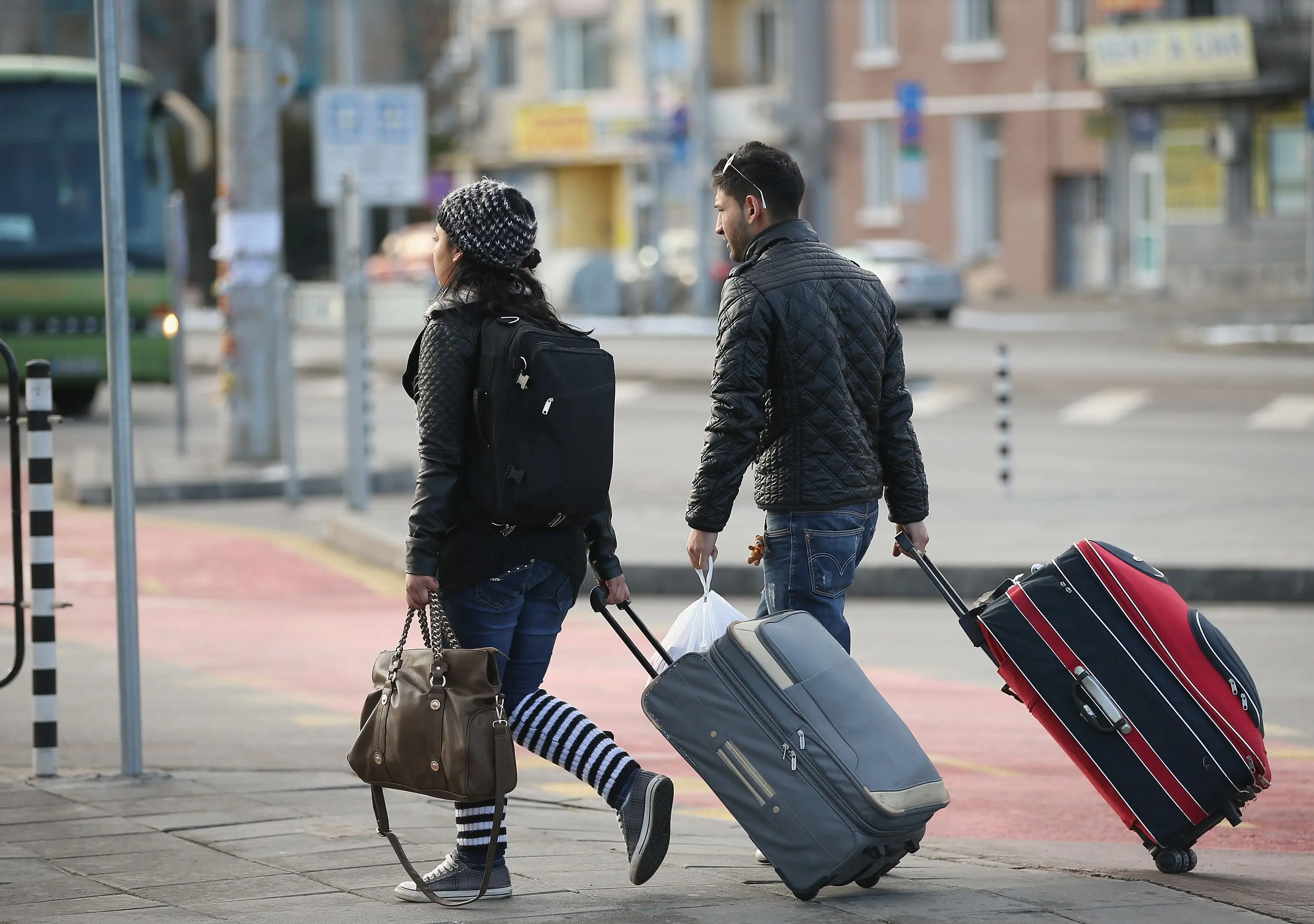
I once dragged a wheeled bag up a lane the map had called a short hop. The pin was honest. The sidewalk was not. By the third landing I understood that minutes on a screen are a guess about flat ground.
Mapping tools flatten a route. They count crossings as if each one takes the same breath. They hide a broken curb, a stair flight with no rail, and the stretch that has no shopfront after dark. The number they print is useful as a first sort. It is a poor last word.
I now walk the last block twice before I trust a pin: once as a daylight errand, once as a return with a bag. If those two versions disagree, the disagreement is the decision. Either I change the pin, or I accept the harder version on purpose.
What the number leaves out
A pin that sits “eight minutes” from a market street can still ask for a climb. Grade does not show as a warning. It shows as a thin line that looks like every other line. The same is true of a path that ends at a fence and sends you around a court. The tool still calls it a walk. Your shoulders will not.
Night changes the same distance again. A lane that feels ordinary at noon can lose its shop lights and become a service road. I have followed a blue line into a stretch with no doorway to step into if I needed to pause. The map did not lie. It simply had no category for “I would not want to do this twice with a suitcase.”
If you cannot name the last two corners, you do not yet have a walk. You have a measurement.
How I test a pin before it locks
Street view helps only if you refuse the pretty frame and follow the pavement. I drag the view along the sidewalks I would actually use, not along the road center. I look for steps, for a missing curb cut, and for the place the path slips behind a wall.
- Start at the door, not at the landmark. Work outward until you hit a street you already understand.
- Repeat the same line as a night return. If the last block loses light or people, write that down as a cost.
- Add the bag. A flat eight minutes can become fifteen when a wheel catches a lip or a stair has no second hand.
If street view skips a corner, I treat the skip as a question for the host: “How do I reach the door from the nearest lit street with a wheeled bag?” A host who has done that walk can answer in one sentence. A host who has not will send another photo of the kitchen.
When the longer walk is still the right one
A flatter block farther out can spend less of your evening than a “short” climb beside the pin you wanted. I have chosen the farther door because someone in the group could not manage a long stair flight. The map called it a loss. The week did not.
I keep a short list of things that make me drop a pretty pin:
- A stair flight with no side entrance and no mention of a ground-level door.
- A last block that is a service lane after the shops close.
- A path that looks fine until it meets a fence, a wall, or a private court.
The reverse is also true. A slightly longer walk on a lit shop street can be kinder than a shortcut through a dark cut. Time is not the only cost. Effort and the feeling of the last corner count, especially on the third night, when the novelty of the room has already worn off.
None of this means you should hunt for a perfect route. It means you should see the route you are buying. Confirm the pin against the sidewalk. If the two stories match, the map has done its job. If they do not, believe the sidewalk.